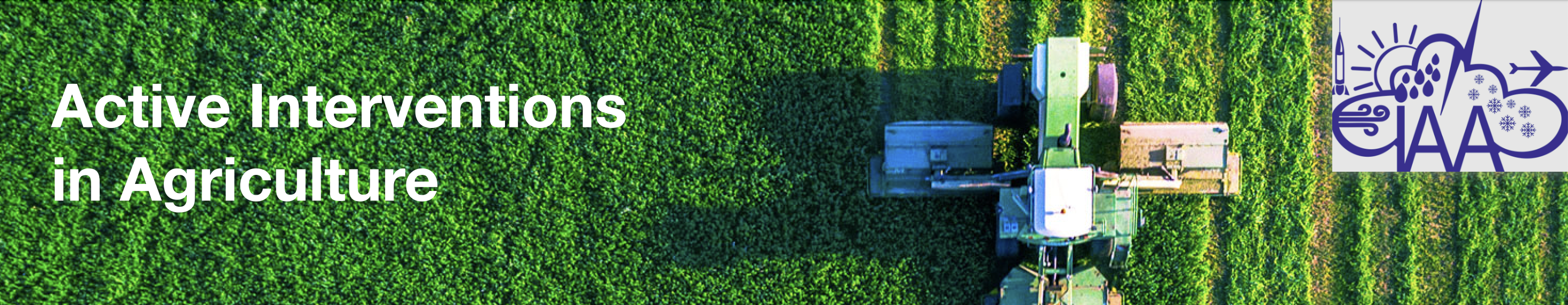
IT SYSTEM FOR ACTIVE INTERVENTIONS IN AGRICULTURE
The SIVTEC team has developed an information system that allows the assessment of the impact on agriculture using units tond combat hail and rainfall.Project Objectives
- Protecting farmers' agricultural land from the effects of hail;
- Local increase in rainfall to meet water needs for agriculture, in areas where there is no irrigation;
- Estimation of damage caused by hail in agriculture, or lack of rainfall;
- Establishment of a collaboration regime between meteorological, hydrological, environmental and agricultural surveillance components and other relevant bodies.
- The software system facilitates the communication between the Single Integrated Hail Center (CUIA) and the Command Points of the Hail Falls (PC / UCCG) on the procedures for coordinating the launch of hail missiles.
Who Is The Project For?
- Ministry of Agriculture and Rural Development
- Ministry of Environment and Sustainable Development
- Ministry of Economy and Finance
- Ministry of Transport
- Representative agricultural companies
- Agricultural insurance companies
- Water, navigation and tourism companies
Project description
The proposed system for assessing the impact on agriculture uses agricultural lands or plots on the territory of Romania (starting from the declarations of farmers from APIA), hail control units and measures to increase precipitation. The system is complementary to the applications and interventions currently used and it has the role of capitalizing on the results obtained.
The purpose of the system is to:
-
Centralize the anti-hail intervention operations carried out in the combat units in the country and display the data in a map format:
- automation of the missile request permission flow,
- establishing the responsibilities of the parties, measures to coordinate their actions,
- issuing visual notifications and warnings in accordance with the operations performed by users,
- user view of the status of documents on the transmission stream,
- informing by SMS of a contact list regarding the activity of the Command Points of the Hail Falls Control Units (PC/UCCG),
- recording the history of the document transmission flow that allows access to the documents transmitted between the two entities: the Single Integrated Anti-Hail Center (CUIA) and the Command Points of the Hail Falls (PC / UCCG),
- ensuring the safety of flights during the launch of anti-hail missiles.
-
Carry out geospatial analyzes to make the best decisions to protect agriculture and farmers, such as:
- Identify the success rate of protection provided to farmers by launching hail missiles;
- Determine protected agricultural areas and their associated crops;
- To estimate the percentage of hail that fell to the ground by analyzing and processing RADAR data provided by the National Meteorological Administration and by overlapping with agricultural plots;
- Identify areas where rainfall has fallen to the ground and determine the amounts of water in RADAR data by overlapping with agricultural plots;
- To estimate the amount of damage in agriculture caused by hail or lack of rain;
- To estimate the value of future production in agriculture using historical RADAR data, by performing simulations.
- Extract reports and statistics showing the results of interventions in the atmosphere and notify farmers after each intervention..
More information here: www.iaa.eu/ro/